|
Tuesday, February 10, 2004
Mapping Data to the US States

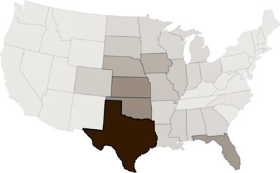
Can you guess what this map shows? Our project in Mapping & Diagramming was a map of the 48 continental US states, showing some kind of data that contained all the states to some degree. With no key and no text. If you are interested, this map displays this data.
posted at 11:51 PM in
projects
| comments (0)
| trackback (0)
‹‹ preceding entries
|